

Professional Certificate (PC) in Applied Geographic Information Systems (GIS)
Date: Please refer to the respective course links for the course dates.
Duration: 42 Hours
Mode Of Delivery: Face-to-Face
Course Fees: S$5,100 (Before GST)*
Please refer to the respective course pages for details.
*Upcoming course runs from September 2026 would be at full fees.
Note: All new participants who wish to attain the Professional Certificate should follow the course sequence within this upcoming cycle, as the curriculum will be revamped after the cycle completes in May 2027. Course sequence:
All new participants should not extend their candidature beyond one programme cycle. The course may be rescheduled if the class enrollment does not meet the minimum of 20 participants. |
Award of Certificate
The Professional Certificate comprises 3 courses:
As digital maps and location-based services become integral to everyday life, proficiency in GIS offers a strategic advantage for those seeking to excel in the geospatial industry.
What You Will Learn
- Acquire an understanding of foundational GIS concepts and technical skills
- Understand the life cycle of a data project with hands-on exercises to collect, view, pre-process, analyse, and display geospatial data for problem-solving and decision-making
- Exposure and understanding of GIS applications in real-world projects in a range of areas from policy, and decision making, to operations and service delivery
- Apply the knowledge and skills in a self-initiated project
Who Will Benefit
- Executives and professionals without a GIS background in both the private and public sectors
- People who aspire to pursue a geospatial career, such as Geospatial Executives, GIS Engineers, GIS Consultants, GIS Mapping Specialists, Geospatial Specialists, and Geospatial Policymakers
Entry Requirements
Diploma or Degree holders of any discipline, at least 1 year of working experience in the related sector is preferred; Candidates with other qualifications and experience may be considered on a case-by-case basis, subject to approval by the Department.
Candidature Period
All new participants who wish to attain the Professional Certificate should follow the course sequence within this upcoming cycle, as the curriculum will be revamped after the cycle completes in May 2027. Course sequence:
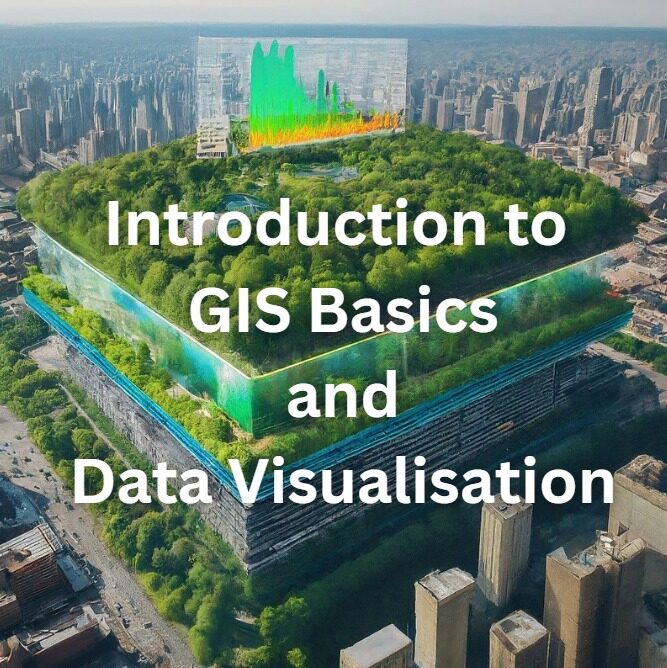
- Introduction to GIS Basics and Data Visualization
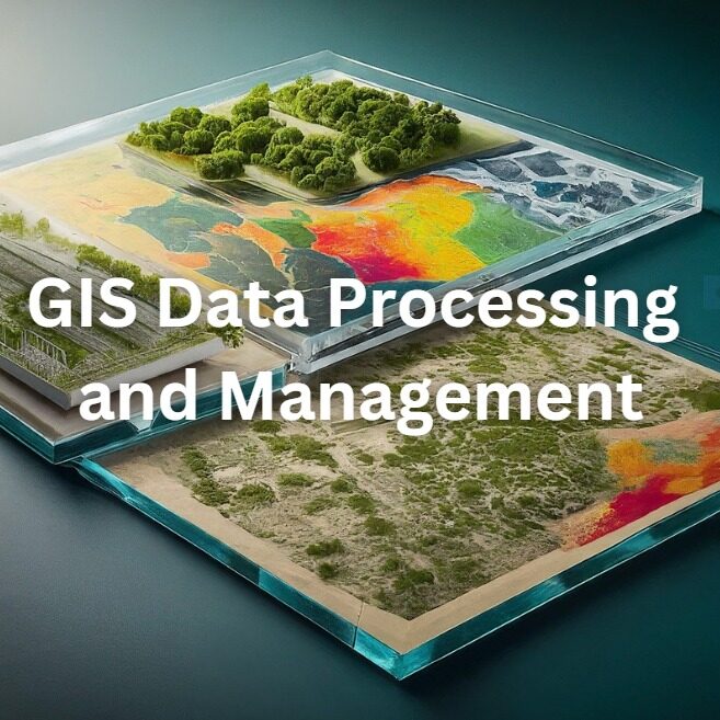
- GIS Data Processing and Management
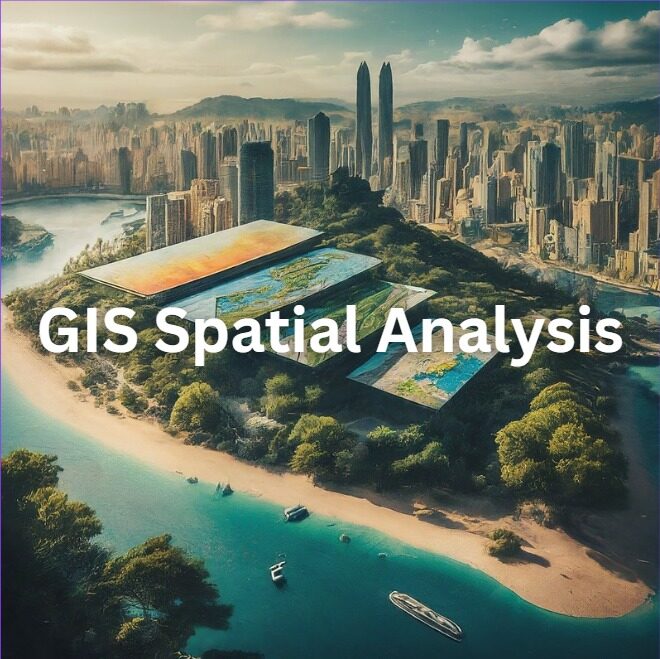
- GIS Spatial Analysis
All new participants should not extend their candidature beyond one programme cycle.
Developed in partnership with the Singapore Land Authority (SLA) , a key driver in adopting geospatial data, services, and technologies in the Singapore government’s Smart Nation initiative, this course is taught by distinguished faculty members from the NUS Department of Geography, ranked 6th globally and 1st in Asia in the 2025 QS World University Rankings by Subject.
The course curriculum is industry-focused, built around a geospatial technology framework that provides learners with essential competencies for various geospatial job roles.
Speak to Us
Please contact Eiffel Tan at eiffeltzh@nus.edu.sg if you have any questions about this programme.